UCLA Library
ArcGIS, QGIS or web apps can simply use this map with web map services. WMTS, TileJSON or XYZ tiles are provided for quick access to processed maps.
Sign in to get links.
Sign in to download GeoTIFF.
Overlay & compare
iiif viewer, iiif info json
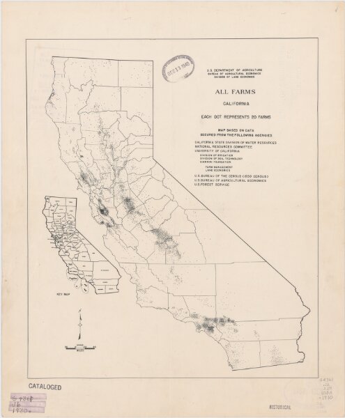
All farms, California.
21198_zz002b10t3
California
Includes index map.|~|<a href="http://catalog.library.ucla.edu/vwebv/holdingsInfo?bibId=3469205">UCLA Catalog Record</a>
193u
United States. Bureau of Agricultural Economics. Division of Land Economics.
U.S. Dept. of Agriculture, Bureau of Agricultural Economics, Division of Land Economics
36 × 31 cm
1 : 3300000