Maps of Big Horn County, Wyoming
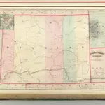 1875|Asher & Adams1:1 270 000
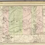 1875|Cram Atlas Company1:1 330 560
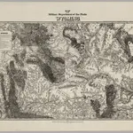 1874|Jones, William A.1:1 200 000
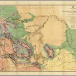 1869|Raynolds, William F.1:1 200 000
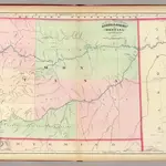 1874|Asher & Adams1:1 267 200
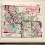 1873|Gray, O.W.1:3 168 000
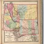 1872|Lloyd, H.H.1:2 947 516
Old maps of Big Horn County, Wyoming
Discover the past of Big Horn County, Wyoming on historical maps
Old maps of Big Horn County, Wyoming
Discover the past of Big Horn County, Wyoming on historical maps
Looking for a Google Maps API Alternative?