Maps of Arrondissement of Vierzon
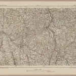 1870|Johannes Wilhelm Liebenow 1822-18971:300 000
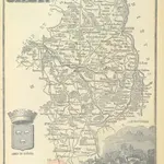 1864|LA BRUGÈRE, de Geographer
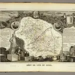
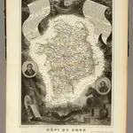 1856|Levasseur, Victor.1:563 000
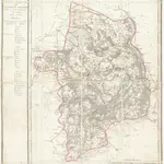 1810|P. G. Chanlaire et Dumez1:265 000
 1856|Levasseur, Victor.1:590 000
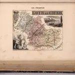 1869|Migeon, J.1:151 520
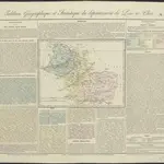 1826|gravé par Le Gagneur1:620 000